Today ROCKED. I was invited to participate in my first site visit (check-up on a community water system, that is), and so I accompanied my co-workers Victor and Gilo to the community of Chontamarca – “a couple hours drive towards the coast” is all I was told. It sounded like a great way to get out of the office.
After a classic Ecuatime departure, 45 minutes after scheduled, followed a good 45-60 minute journey North on the Panamérica – at which point our truck-full of 4 (the hired driver, Victor, Galo, and I) turned off onto a dirt – well, more like really chunky gravel – road. Rolling into a sleepy town square, Victor announced (to me), “¡Aquí es Chontamarca!” and so I zipped up my backpack to hop out.
But then we proceeded to keep our pace, barreling down the dirt road, the faraway mountain crests getting closer. One by one, we entered and exited the thickly forested mountain crevaces and slopes, weaving our way along the one-lane road carved into the steep grade.


30 minutes after exiting “Chontamarca”, the road began to follow the ridgeline of a mountain descending into the Western cloud cover.

To the left and right of the road were equally stunning views of the faraway canyons sloping towards sea-level terrain, as well as little houses and horses clinging to the steep angles just below us.


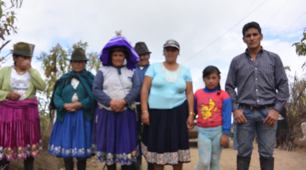
After much doubling back, we pulled up to a small crowd of people and a water tank; after introductions, I learned that Galo was staying to chlorinate the tank and Victor was leaving with the driver and car for a long drive further into the valley to get signatures from members in 5 other communities; I decided to stay with Galo and learn about chlorination.
Promptly, Galo and I learned that “el presidente”, who had the keys to the locks for the opening to the tank, was not present. After 50 minutes of different people strolling down the road from the direction by which he was supposedly to arrive, all reporting that “ya viene el presidente” (“he’s already on his way”), he arrived to unlock the tanks. We soon realized the chlorine was nowhere to be found, and so we listened to the elders pass around “la culpa” (“the blame”) until a young boy walked up, the dehydrated chlorine slung over his shoulder.

So we chlorinated the tank. Long story short, 3.5 hours, a few arguments, and a broken lock later, Galo turned to me and announced, “vamos a caminar” (“now we walk”). So we returned by foot the way in which we came.
After 20 minutes on the main road, we ran into one of the elders I recognized from the group at the water tank, who motioned for us to follow him up a dirt foot path leading off the main road. A brightly bristled broom on one shoulder and a couple of buckets in his other hand, he kept an impressive pace. After following his footsteps through dried-up ravines for what must have been 20 minutes, Galo trailing me, I realized I had no idea who this guy was or where on Earth he was leading Galo and I, but we were traipsing the edge of the Andes Mountain range, and I was loving every second on it.

So I kept walking.
Finally, in the greenery of a concave fold between two jutting hillsides, the man opened a fence of barbed wire to a lush oasis of wet hillside and towering banana plants – the site of another community water system.


Accepting my gringaiety as the men set up the chlorine buckets, I traipsed about the area, taking in the HUGE banana leaves (10-12 feet long x 3-4 wide), lodged within knoby plant bases that hardly seemed suited to root themselves to the steep hillsides, and yet somehow they managed to stick it out.

Though I may be only a proficient communicator when attempting to understand the unfamiliar dialect and slang of the local people in Cañar (though I must say they get and appreciate my humor) and I might be struggling to adapt to a new home, family, lifestyle, and diet, like the banana trees on that slippery slope, I’m going to spread my roots and stick it out. And gosh, I hope I have some sweet fruits of all my labor by the end of this crazy experience. I’m betting I will.
